
 Printable PDF
 GPX Route
 Large Map

A group aiming to further walks and walking in and around Clare, Suffolk’s smallest town which is situated in the Stour Valley on the border with Essex.
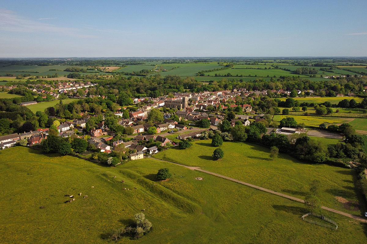
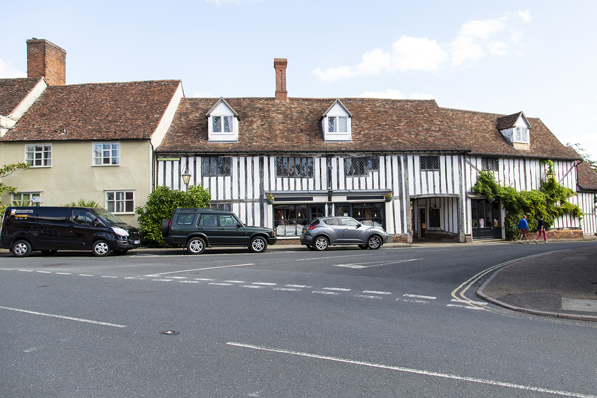

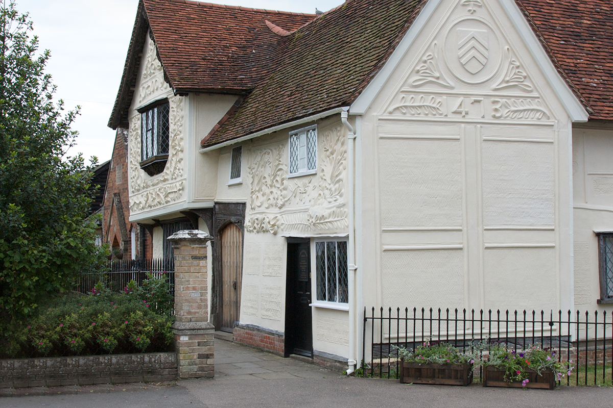
Nestling in the upper Stour Valley, Clare is Suffolk’s smallest town (population 2,300: 2021 census). It has a rich history: the de Clare’s were the richest non-royal family in England in the 14th Century. It has a 15th Century Wool Church, a Priory (the mother house in England of the Augustinian order), the ruins of a Norman motte and bailey castle, a country park, historic railway buildings, the pargetted Ancient House and the river Stour. With over 130 listed buildings and a range of independent shops, pubs, cafes and businesses it is well worth exploring.
 From the car park cross the metal bridge over the river and immediately turn sharp left to walk alongside the river, cross the weir and pass through a kissing gate.
Alternative route; if the river is in flood after heavy rain, this path may be impassable. If so, carry straight on from the bridge to the road, turn left and left again. After approx.400 yards take a signed track on the right.
After crossing the weir bear right across the field to a footbridge with another kissing gate. Cross the bridge and continue across the field ahead to the road.
 Turn right along the road for a short distance to a signed track on the left. Keep on this track for a mile and a half to the road at Cutbush Farm. Go straight across the road.
 Take the next path on the left keeping ahead for about a mile to another road.
 You have reached Belchamp St Paul. Turn left along the village street, passing the Half Moon pub.
Just past the village school boundary take the well-hidden path which passes behind the school and follows the field edge. As it emerges onto a track turn right towards a barn and take the path to the left of the barn out to a road.
 Continue ahead on the road to a 90 degree bend (left) in the road. You are now in Belchamp Otten.
 Leave the road and go straight ahead on the footpath. In the second field, 2/3rds of the way across, and clearly marked, turn left.
 Follow path to a tree lined ditch and keep ahead to a road. Turn left along the road to pass Stettle’s Farm and on the next bend take the track on the right.
 Keep ahead then bear slightly right to find a narrow, enclosed path on the left. Follow this path as it passes a garden with mixed trees. Turn left, before the farm buildings, along the far side of a garden between fences to a road.
 You are now entering Belchamp Walter. Go straight ahead (do not turn right!) along the road past Fisher’s Farm.
 Take the path on the right to emerge onto a lane that leads to a road junction.
 Turn left at the junction and go along the road to the Parish Church and Belchamp Hall. With the Parish church on your left, walk down the road and then bear left in 50 yards onto a track.
Suggested rest stop/break point (6.75 miles from Clare): The Parish Church of St Mary, Belchamp Walter (CO10 7AT) provides the perfect location for a short stop. The church itself is well worth a visit, if open, as it contains outstanding early 14th Century wall paintings. Immediately opposite is Belchamp Hall, a delightful Queen Anne mansion that has been owned by the Raymond family for over 300 years. It featured in the TV series ‘Lovejoy’ where it was renamed Felsham Hall, the fictional home of Lady Jane Felsham.
 Continue bearing left into a grassy field alongside a small canal. In approx. 200 yards bear right into a wooded area.
 The track continues through the wood and then in approx. 400 yards ensure you bear right following the path through an open grassy area.
The path continues along the valley for approx. 1 mile where it meets a narrow road alongside a house called ‘The Rookery’.
 At the road junction turn right for 400 yards. At the T junction turn right for 100 yards and take the bridleway on the left just after Bardfield Bridge.
 This bridleway continues for a further mile where you will meet the old railway line.
 The walk continues on the path opposite, clearly signed as Stour Valley path.
Alternative route; In winter it is possible that the meadows could be flooded. If they are you can continue the walk by turning right onto the old railway line for approx. 1½ miles to the finish in Sudbury.
Follow this track for approx. 400 yards, joining the road coming in from the right.
At this point there are some rather fine old timber cottages on your right, and on your left is the old Brundon Mill . It is well worth walking up past the Mill to the bridge over the Stour for a look at the swannery.
Follow the track past the cottages which bears left and through a kissing gate onto the water meadows.
 Follow the path to cross the weir in 400 yards. From the weir take the track which bears right in a southerly direction crossing a bridge in another 400 yards. Continue straight across the bridge and in another 300 yards bear right to take a path over a further bridge which heads towards a cattle tunnel under the old railway line.
 When you get to this tunnel go through the ‘kissing gate’ on the left and up steps where you will join the old railway line.
 Turn left along the railway and follow this for another mile to end at the car park.


Set on the Stour, Sudbury is an ancient market town, surrounded to the south and west by water meadows. Historically, it has thrived on the textile industry, particularly wool and then silk. The artist Thomas Gainsborough was born in the town in 1727 and his birthplace ‘Gainsborough’s House’, is open to the public.
The town has a twice weekly market and a diverse range of shops and eating places. It also boasts a wealth of facilities including a theatre, river trips, a fine cricket ground and boat and croquet clubs.
Start:
Clare Country Park Car Park, CO10 8NW
Finish:
Station Road Car Park, Sudbury CO10 2SU
Possible break point:
Belchamp Walter Church, CO10 7AT
6.75 miles from Clare & 5 miles to Sudbury
A group aiming to further walks and walking in and around Clare, Suffolk’s smallest town which is situated in the Stour Valley on the border with Essex.

A charity whose aims are to encourage walking, to protect rights of way, to develop walks and to defend the beauty of the countryside for the benefit of all.

Promoting walking, cycling and riding in Suffolk. Explore walking, cycling and riding guides, promoted trails & easy access routes in Suffolk.

A nationwide initiative enabling the development of over 100 accredited Towns and Village members. Assisting with their communities’ economic, physical, health and mental well-being through walking.